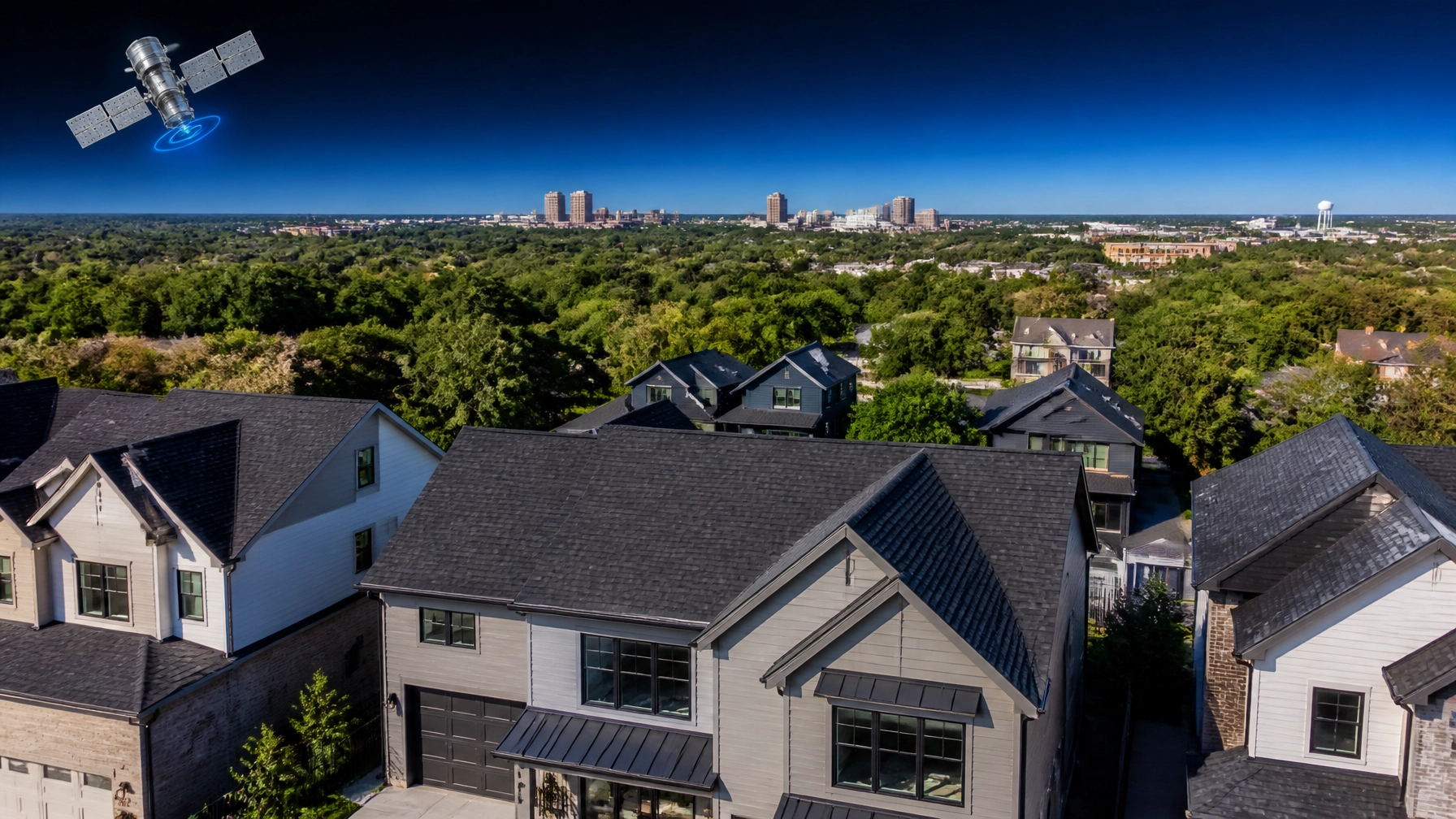
For decades, the "Bull City" was defined by tobacco warehouses and textile mills. Today, if you walk through downtown Durham or look toward the campuses of Duke University, you aren’t just seeing a revitalization, you’re seeing the birth of a global aerospace powerhouse.
While most of the world looks to Silicon Valley for the "next big thing," a 10-person team in Durham is quietly building technology that can see through clouds, pierce the darkness of night, and capture 100 times more data than the billion-dollar satellites currently orbiting the planet.
This isn't science fiction. It’s Extellis, a Duke University spinout that is fundamentally changing how we observe the Earth. For homeowners in the Raleigh-Durham area, this satellite technology in Raleigh, NC isn't just a win for the local economy; it’s the engine behind the next generation of home services, from precision agriculture to the instant roof estimates you can now get in under 60 seconds.
The Extellis Breakthrough: Metamaterials Meet the Final Frontier
At the heart of the Extellis satellite startup is a decade of intensive research conducted at Duke University’s Pratt School of Engineering. Founded by CEO Michael Boyarsky and advisor David Smith, the company is commercializing "metasurface" antenna technology.
Traditional satellites are often limited by their "eyes." Optical satellites (the kind that take pictures you see on Google Maps) are useless if there is a single cloud in the way or if it’s nighttime. Traditional Synthetic Aperture Radar (SAR) satellites: which use radio waves to "see": are often bulky, power-hungry, and slow to reposition their beams.
The Extellis Advantage (Technical Factors):
- Beamsteering (Horizon-to-Horizon): Their patented metamaterials allow the satellite to steer its radar beam electronically without moving the entire spacecraft.
- High Throughput (Industrial Scale): While current SAR satellites might capture hundreds of images per day, Extellis aims for thousands: targeting up to 10,000 images per satellite daily.
- All-Weather Performance (Critical): Because it uses radar rather than light, the technology sees through smoke, clouds, and complete darkness.

Local Roots, Global Capital: The Triangle’s Tech Edge
The rise of Extellis is a testament to the venture capital ecosystem currently exploding in North Carolina. Recently, the startup closed an oversubscribed $6.8M seed round, a significant milestone for satellite imaging in Durham, NC.
The round was led by Raleigh-based Oval Park Capital, with additional backing from Duke Capital Partners, Front Porch Venture Partners, and even industrial giant Shell Ventures. This follows approximately $2.3 million in funding from DARPA, proving that the Department of Defense sees the same potential in this Durham-born tech that local investors do.
By keeping their headquarters in Durham, Extellis is leveraging the deep pool of engineering talent coming out of Duke, NC State, and UNC. It’s a specialized 10-person team that is punching way above its weight class, preparing for a "Pathfinder" mission that will put their hardware into orbit.
Why This Matters for Your Next Home Project
You might wonder how a satellite orbiting 300 miles above the Research Triangle Park (RTP) affects your Saturday afternoon home improvement plans. The answer is simple: Accuracy.
At Get My Roof Estimate Now, we rely on high-resolution satellite data to provide homeowners with precise, instant pricing. The "traditional" way of getting a roof estimate: waiting three days for a contractor to show up with a ladder: is being replaced by the "Triangle Way."
From Orbit to Shingles: The Data Chain
- Capture: Satellites like those being developed by Extellis capture high-fidelity imagery of your property.
- Analysis: Advanced algorithms calculate the square footage, pitch (steepness), and complexity of your roof.
- Pricing: We cross-reference that data with local material costs (Architectural Shingles, Metal, or Coatings) and regional labor rates in NC.
- Result: You get a transparent, tiered estimate in 60 seconds.
Better satellite technology means we can see through the shadows of overhanging trees or the distortion caused by atmospheric haze. It ensures that when we tell you a roof replacement will cost between $12,000 and $18,000, that number is backed by sub-inch measurement accuracy.

Understanding the "SAR" Revolution
To appreciate what Extellis is doing, it helps to understand the categories of satellite data.
- Optical Imaging (Standard): Think of this as a regular camera. If it’s cloudy in Raleigh (which happens about 115 days a year), an optical satellite sees nothing but white.
- SAR Imaging (Premium): Synthetic Aperture Radar sends a signal to the ground and measures how it bounces back. It’s like "echolocation" for space. It doesn't care about clouds, rain, or night.
For industries like ours, SAR technology is a game-changer. If a major storm hits the Triangle, we don't have to wait for the clouds to clear to help homeowners assess damage or plan a replacement. We can get the data immediately, helping you move faster with insurance claims and contractor scheduling.
The Economic Impact on Durham and Raleigh
Extellis isn't just a win for the science community; it's a pillar of the "New Triangle" economy. By securing over $7 million in total funding and maintaining a lean, high-output team, they are proving that Durham is a viable alternative to the traditional aerospace hubs in Colorado or California.
As Extellis scales, we expect to see:
- Faster Innovation cycles: Shorter wait times for updated satellite maps of rapidly growing areas like Cary, Apex, and Holly Springs.
- Lower Costs: High-volume imaging (the 100x factor) eventually drives down the cost of data, a savings that companies like ours pass directly to the consumer.
- Local Jobs: Attracting more space-tech startups to the Raleigh-Durham area.

How to Get Ahead of the Curve
Whether you’re a tech enthusiast following the Extellis satellite startup or a homeowner who knows their 20-year-old shingles are reaching the end of their life, the message is the same: technology is making your life easier.
You no longer need to deal with high-pressure sales tactics or wait weeks for ballpark figures. By leveraging the same types of satellite advancements happening in our own backyard, you can take control of your home maintenance.
Ready to see what the satellites see?
If you live in North Carolina, Virginia, or any of our service areas, you can use our satellite-powered tool to get a free, instant roof estimate today. No credit card, no contractor visit, just pure data-driven transparency.
The Triangle is rewriting the rules of the sky: and we’re using that power to fix your roof, one square at a time.
Local Quick-Stats for Durham/Raleigh Homeowners
- Average Roof Size: 2,200 – 3,500 sq. ft.
- Popular Materials: Architectural Asphalt Shingles (Standard), Standing Seam Metal (Premium).
- Estimate Accuracy: 90-95% using satellite measurements.
- Time to Estimate: < 60 Seconds.
Leave a Reply