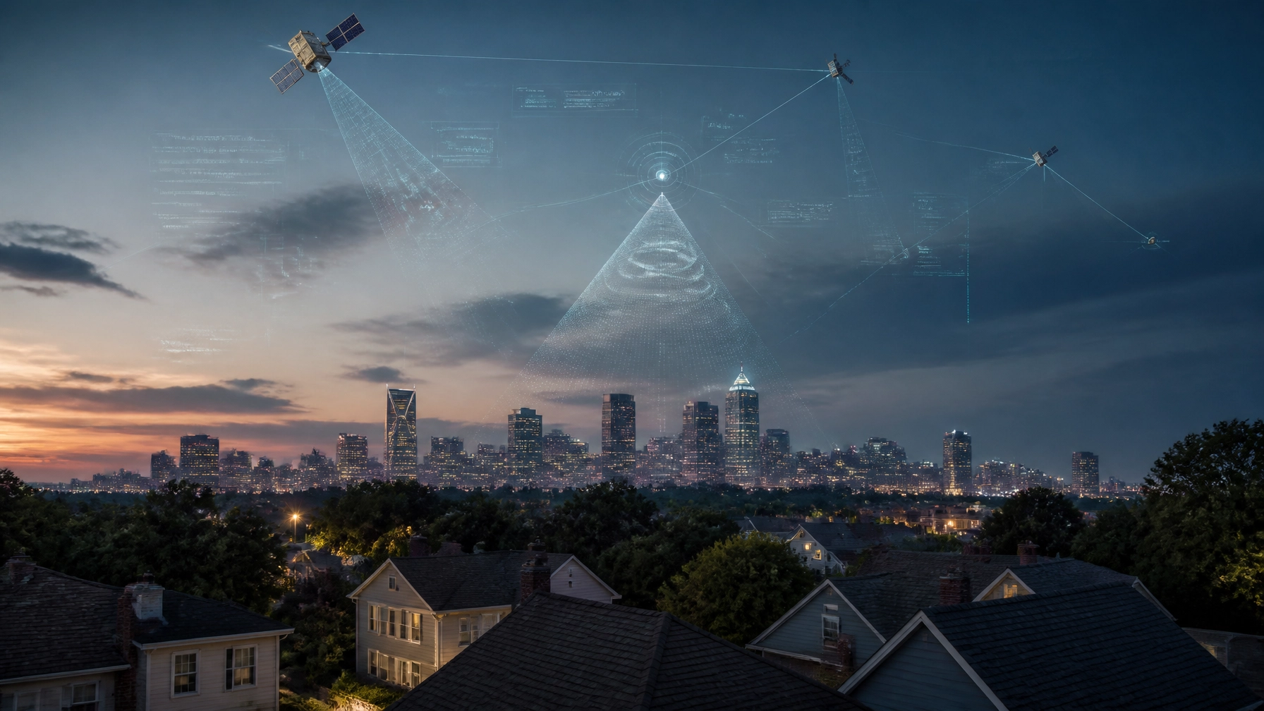
For decades, Charlotte, North Carolina, has been synonymous with global banking and NASCAR. However, as we move into 2026, a new industry is claiming the Queen City’s skyline: Satellite Technology. From monitoring the environment to measuring the very roof over your head, space-based data is now a local powerhouse.
At Get My Roof Estimate Now, we’ve always known the power of the "eye in the sky." Our business is built on the same satellite precision that Charlotte’s tech giants are now using to transform the energy, safety, and infrastructure sectors.
In today’s Daily Tech Blitz, we’re breaking down why Charlotte is the new epicenter of the "Satellite Tech Edge" and what it means for your home and community.
The Industrial Eye: Duke Energy’s Methane Watch
Charlotte-based Duke Energy isn’t just providing power; they are pioneering how utilities use space to protect the planet. Recently, Duke Energy received nearly $1 million in federal funding from the U.S. Department of Energy (DOE) to expand its satellite-based methane monitoring.
How it Works [Environmental]:
- Satellite Detection: Using short-wave infrared (SWIR) sensors, satellites orbit Charlotte and identify methane leaks in near real-time.
- AI Integration: Data is fed into a Microsoft Azure cloud platform where AI algorithms (90-95% accuracy) isolate methane spectral signatures.
- Operationalized Results: This tech has already reduced recordable leaks by more than 85% since early 2022.
By monitoring natural gas assets from space, Duke Energy is proving that Charlotte is a leader in using "big data" from orbit to solve ground-level problems.
Protecting the Homefront: NISAR and Landslide Monitoring
For North Carolina homeowners, particularly those near the Piedmont or the Appalachians, the upcoming NISAR (NASA-ISRO Synthetic Aperture Radar) mission is a game-changer.

Local Risk Mitigation [Safety]:
- Flood Mapping: NISAR can "see" through clouds and at night to map surface-water extent, which is vital for Charlotte’s flood-prone areas.
- Landslide Detection: In Western NC, the satellite measures ground deformation to predict slope instability before it affects homes.
- Infrastructure Health: Tracking ground movement helps utilities and local government ensure that pipelines and roads stay safe.
When you use our roof cost calculator, you are using a simplified version of this very same technology: leveraging high-resolution imagery to assess property health and project needs.
The Academic Engine: UNC Charlotte’s AI Breakthroughs
Innovation starts in the classroom. At UNC Charlotte, researchers are pushing the boundaries of what satellites can do for local safety and environmental health.
Autonomous Satellite Safety [Innovation]
A UNC Charlotte student researcher recently secured an NC Space Grant for developing AI-driven deorbiting tools. As space becomes more crowded, these tools ensure that satellites can autonomously avoid collisions and safely exit orbit when their mission is over.
Guarding Our Water [Public Health]
UNC Charlotte is also utilizing satellite data and AI to predict Harmful Algal Blooms (HABs) in local water sources. By analyzing surface reflectance and chlorophyll levels from space, the university can flag risks to Charlotte’s drinking water reservoirs weeks before they become a public health hazard.
The Corporate Powerhouses: Satellogic and Extellis
You don’t have to look as far as Silicon Valley to find the leaders of the new space race. They are right here in the Charlotte metro area.

Satellogic [Global HQ]
Satellogic, a global leader in Earth-observation satellites, maintains a significant presence in Davidson and Uptown Charlotte. They operate a constellation of 19 satellites that provide high-resolution imagery for everything from defense to agriculture. Their decision to anchor their U.S. finance and legal headquarters in Charlotte speaks volumes about the city's growing tech reputation.
Extellis [Advanced Tech]
Keep an eye on Extellis, a Duke University spinout that recently secured over $7 million in funding (including backing from Shell Ventures). They are developing metasurface Synthetic Aperture Radar (SAR) technology. Unlike traditional cameras, SAR can see through smoke, clouds, and darkness, providing a 24/7 view of critical infrastructure.
2026 Tech Trends: What’s Next for Space-Based Services?
The satellite industry is moving faster than ever. As we look ahead through 2026, several key trends are emerging that will directly impact how Charlotte residents manage their properties:
- Onboard Edge Processing [Speed]: Satellites are now processing data in space rather than sending raw files to Earth. This means information that used to take days to analyze now takes seconds.
- Sovereign Turnkey Solutions [Security]: More localized, "private" satellite networks are being built to protect regional infrastructure.
- Hyper-Precision Measurements [Accuracy]: At Get My Roof Estimate Now, we leverage these advancements to provide roof measurements accurate to within inches.

Why Satellite Tech Matters to Charlotte Homeowners
You might wonder, "Why should I care about methane sensors or SAR satellites?"
The answer is simple: Accuracy and Speed.
Traditional home services used to require a contractor to drive to your house, climb a ladder, and spend an hour with a tape measure just to give you a ballpark figure. In Charlotte’s fast-paced tech economy, that’s an outdated model.
By utilizing the same satellite imagery technology used by Duke Energy and Satellogic, we provide:
- Instant Estimates: Receive a full roof replacement quote in under 60 seconds.
- Zero-Contact Precision: No need for a contractor visit until you’re ready to start.
- Data-Driven Budgeting: Get low, middle, and high price ranges based on current material costs (Architectural Shingles, Metal, etc.).
How to Get Started:
- Enter Your Address: Visit our Roof Estimate Page.
- Confirm Your Roof: We use satellite imagery to identify your home instantly.
- Get Your Price: Receive an accurate estimate based on your roof's actual size and complexity.
Conclusion: A Sky-High Future for the Queen City
Charlotte is no longer just a "bank town." It is a hub for the technology that monitors our climate, protects our water, and modernizes our home maintenance. As companies like Duke Energy and startups like Extellis continue to innovate, the "Satellite Tech Edge" will only become more vital to our daily lives.
Ready to see this technology in action? Use our Roof Cost Calculator today and see how 60 seconds and a satellite can change the way you think about home improvement.
Leave a Reply