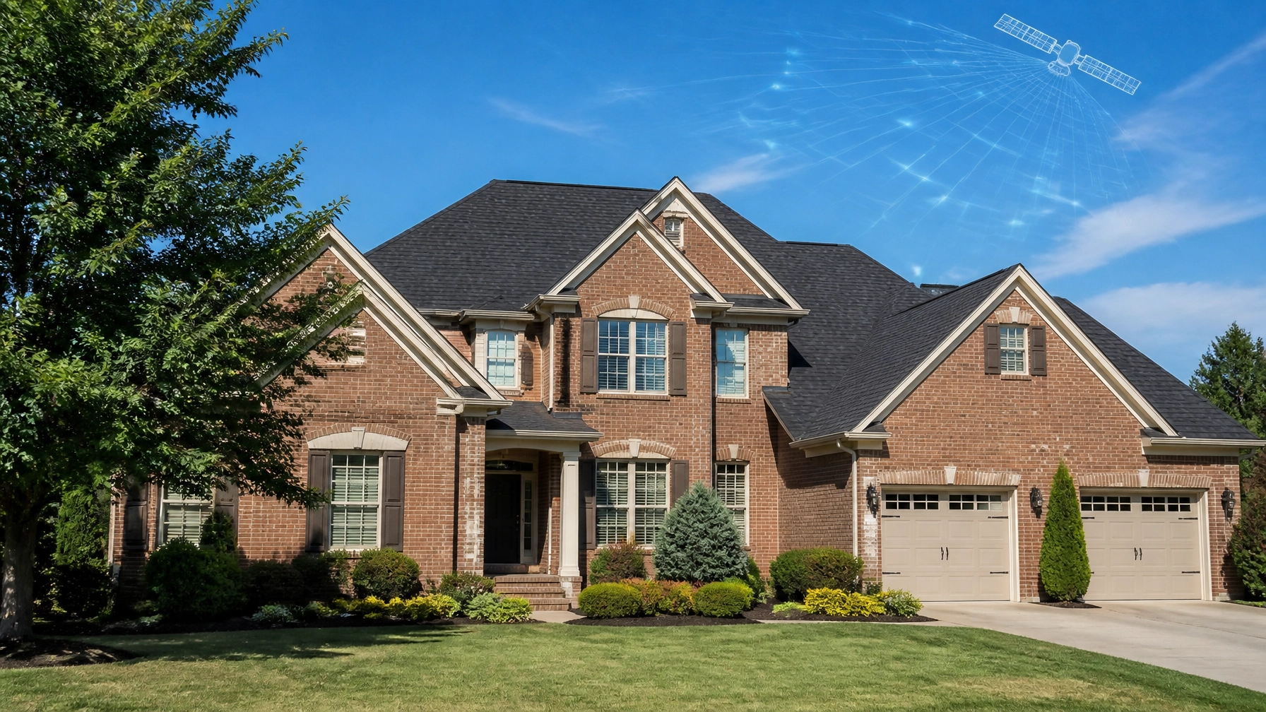
Raleigh, North Carolina, is no longer just the "City of Oaks." While our region is famous for its lush canopy and historic charm, a new kind of canopy is forming over the Research Triangle: one made of satellites, high-frequency antennas, and next-generation space technology.
For decades, the Triangle has been a leader in biotech and software. But in 2026, the focus has shifted toward the stars. From Duke University spinouts in Durham to groundbreaking 6G research at NC State, Raleigh is positioning itself as a critical node in the global space economy. For local homeowners, this isn’t just abstract science; it’s the same technology that allows companies like Get My Roof Estimate Now to provide instant, hyper-accurate roof measurements from orbit.
In this edition of the Daily Tech Blitz, we’re diving into the innovations putting Raleigh on the space map and how this "Satellite Tech Edge" is changing life on the ground.
The Extellis Breakthrough: Seeing Through the Clouds
Just down the road in Durham, a Duke University spinout called Extellis is rewriting the rules of satellite imaging. Traditional cameras on satellites often struggle with North Carolina’s humidity and heavy cloud cover. If it’s cloudy, they can’t see your roof. Extellis has solved this by developing metamaterial antenna technology for Synthetic Aperture Radar (SAR).
Unlike standard optical cameras, SAR uses radio waves to "see" through clouds, smoke, and even total darkness. The Extellis team, led by metamaterials pioneer Prof. David R. Smith and Michael Boyarsky, has created a planar, lightweight antenna that can steer its beam electronically. This eliminates the need for heavy, power-hungry mechanical parts.
The industry has taken notice. In early 2026, Extellis successfully extended its funding round with a strategic investment from Shell Ventures, bringing their total backing to well over $7 million. This capital is fueling their "pathfinder" satellite mission, which aims to provide high-resolution images of anywhere on Earth every 15 minutes. For industries like energy, logistics, and even residential infrastructure, this level of persistent monitoring is a game-changer.
NC State and the 6G Satellite Frontier
While Extellis focuses on the "eyes" in the sky, North Carolina State University (NC State) is perfecting the "ears." The university’s Integrated Communication and Sensing Lab (ICaSL), led by Suresh Venkatesh, is at the forefront of phased-array platform research.
Why does this matter for Raleigh? As we move toward 6G technology, the line between cellular networks and satellite networks is blurring. NC State is developing hardware for FR2 and FR3 bands (millimeter-wave) that will allow satellites to connect directly to ground-based devices with zero lag.
Their work with Axiro Semiconductor on "digital twins" of communication systems ensures that these satellite links are resilient and secure. This research isn't just about faster cell service; it’s about creating a "non-terrestrial network" where satellites, drones, and high-altitude platforms work together to provide 100% connectivity coverage, even in the most remote parts of the Appalachian trail or the rural outskirts of Wake County.

FireSat: A Google-Backed Shield for NC Forests
Wildfires may not be the first thing Raleigh residents think of, but for those living in the wildland-urban interface (WUI) or near the coastal plain, the risk is real. That’s where the FireSat constellation comes in.
Backed by Google Research and the Earth Fire Alliance, FireSat is a network of over 50 small satellites designed to detect wildfires as small as 5×5 meters: about the size of a classroom: within 20 minutes of ignition. Current satellite systems often miss these small, early-stage fires until they have already grown out of control.
For North Carolina, this means the NC Forest Service and local fire departments will have access to near real-time thermal data. This allows for faster deployment of resources, potentially saving thousands of homes and millions of dollars in property damage annually. In a state where timber and residential development often sit side-by-side, FireSat represents a massive leap in public safety.
The Homeowner Connection: Satellite Precision for Your Roof
It’s easy to look at multi-million dollar satellite constellations and think they don’t affect your daily life. But if you’re a homeowner in Raleigh, Cary, or Durham, you’re likely already using this technology without realizing it.
At Get My Roof Estimate Now, we leverage advanced satellite imagery: similar to the tech being pioneered by Extellis: to transform how you maintain your home. The traditional way of getting a roof estimate is slow and invasive: you call three contractors, wait for them to show up with ladders, and spend hours listening to sales pitches.
We’ve flipped the script. By using high-resolution satellite data, we can measure your roof’s size, pitch, and complexity to within inches (90-95% accuracy) in under 60 seconds.
How it Works for Raleigh Homeowners:
- Enter Your Address: Whether you’re in a 2,200 sq. ft. colonial in North Hills or a 1,800 sq. ft. ranch in Garner, our system pulls the latest satellite imagery.
- Instant Measurement: Our AI calculates your roof "squares" (a 10×10 area used in roofing) automatically.
- Transparent Pricing: We provide a low-middle-high price range based on current Raleigh material and labor costs.
- Budget (Standard Shingles): Typically $8,000 – $12,000 for an average home.
- Popular (Architectural Shingles): Typically $12,000 – $18,000.
- Premium (Metal or Synthetic): Typically $18,000 – $25,000+.
- Connect with Pros: Once you have your instant roof estimate, we can connect you with verified, licensed, and insured local contractors who are ready to honor the ballpark pricing.

Why Satellite Accuracy Matters in NC
Raleigh's climate is tough on roofs. Between the high humidity that fuels algae growth (those black streaks you see) and the occasional hurricane-force winds, a roof here typically lasts 15 to 25 years. Because the technology we use is so precise, we can factor in regional price differences and specific local pain points: like the need for high-wind-rated shingles or specific flashing for Raleigh’s popular complex rooflines.
A Growing Ecosystem in the North Hills
Raleigh’s tech surge isn't just happening in labs. Ralliant Corporation recently chose Raleigh’s North Hills area for its global headquarters, bringing 180 high-tech jobs focused on aerospace and defense subsystems. Additionally, the Wireless Research Center (WRC) in the Triangle continues to serve as a critical testbed for satellite antennas.
The Federal Communications Commission (FCC) has even designated an "Innovation Zone" near NC State for testing advanced wireless and drone technologies. This cluster of talent and infrastructure ensures that Raleigh remains at the cutting edge of the "New Space" economy.

Conclusion: The Future is Overhead
The "Satellite Tech Edge" is more than just a buzzword; it’s a fundamental shift in how Raleigh functions as a city. From Extellis’s all-weather SAR imaging to FireSat’s protective watch and NC State’s 6G connectivity, the innovations coming out of our backyard are reaching the stars.
For the modern Raleigh homeowner, this means more than just a faster internet connection. It means transparency and speed when you need it most. Whether you’re planning for a roof replacement or just curious about your home’s value, satellite technology is here to save you time and money.
Ready to see what the satellites say about your home? Get your instant, free roof estimate in 60 seconds here.
Leave a Reply