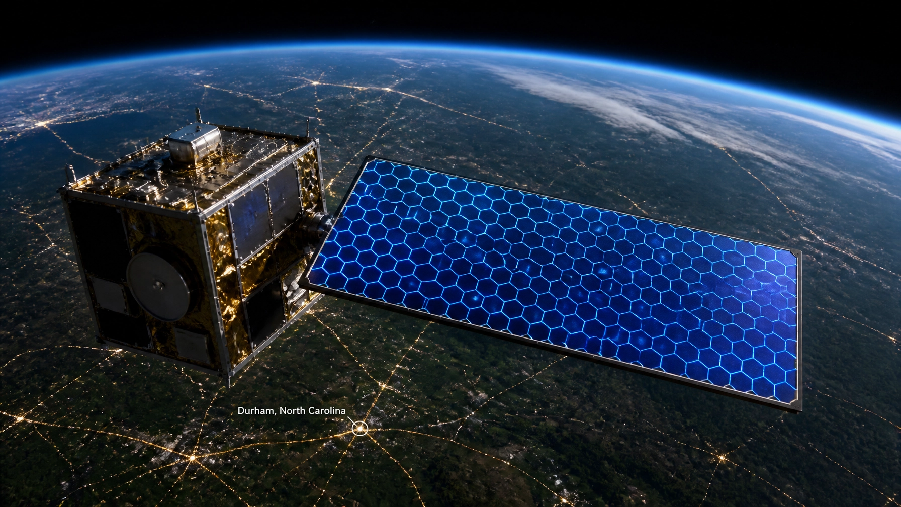
In the high-stakes world of Earth observation, the bottleneck has never been the distance: it’s been the data. For decades, satellites have been limited by "duty cycles," often operating only a fraction of the time due to power and heat constraints. But in Durham, North Carolina, a startup born out of Duke University is shattering those limits.
Extellis is moving the needle from hundreds of images per day to thousands, leveraging metamaterial technology that promises to turn high-resolution satellite imagery into a high-volume utility. For homeowners and industries relying on precise property data: like the satellite-powered instant roof estimates we provide: this shift represents a massive leap in accuracy and availability.
The Metamaterial Breakthrough: SAR at Scale (Industrial-Grade)
The core of the Extellis mission is Synthetic Aperture Radar (SAR). Unlike traditional optical satellites that are blinded by clouds or darkness, SAR uses microwave wavelengths to "see" through any weather condition, 24/7. However, conventional SAR hardware is heavy, power-hungry, and expensive.
Extellis founders Dr. Michael Boyarsky and Dr. David Smith have introduced a paradigm shift: metamaterial-based antennas. These metasurfaces allow for horizon-to-horizon electronic beam steering using a lightweight, planar architecture.
The result? A satellite that doesn't just take pictures: it harvests data at an industrial scale.
- Legacy Systems: Typically capture hundreds of images per day.
- Extellis Metasurfaces: Engineered to capture up to 10,000 images per day per satellite.
- Efficiency (Thermal): Drastically reduced heat and power constraints allow the sensors to stay "on" longer.

From Duke Labs to $7M+ in Capital (Funding)
The pedigree of Extellis is rooted in the "Research Triangle" excellence. Dr. David R. Smith, a Duke professor whose lab pioneered the underlying technology, and CEO Michael Boyarsky have successfully bridged the gap between academic theory and commercial viability.
With over $7M in funding, including recent backing from Shell Ventures and a significant $2.3M from DARPA, the market has clearly signaled its need for this specific innovation.
In a recent industry briefing, CEO Michael Boyarsky highlighted the driving force behind their rapid growth:
"For me, it speaks volumes about the market appetite… to know that there is a major customer company that clearly has huge needs for satellite imaging and is unsatisfied with today's offerings, or looking for more."
This "appetite" is driven by a global need for real-time monitoring of infrastructure, climate change impact, and property assets.
The Durham Hub: Why Local Innovation Matters (Regional Impact)
Durham, NC, is becoming a powerhouse for aerospace and hardware tech. Extellis’ presence in the city reinforces the local ecosystem's ability to support deep-tech ventures. As of July 2026, the company is aggressively moving toward its first orbital demonstration.
The roadmap is clear:
- Validation: Testing on high-altitude aircraft to prove beam-steering accuracy.
- Deployment: A 2026 orbital demo to validate the metasurface performance in the vacuum of space.
- Scaling: Launching a constellation capable of covering the entire Earth at 1-meter resolution in under a year.

Broader Satellite Tech Trends in 2026 (Forward-Looking)
Extellis isn't operating in a vacuum. The entire satellite sector is undergoing a software-defined revolution. Several key trends are converging to make space-based data more accessible than ever:
- AI and Edge Computing: Satellites are no longer "dumb" cameras. They are becoming orbiting data centers. Companies like Planet are now launching satellites equipped with Nvidia GPUs to process imagery in-orbit, sending only the most relevant insights back to Earth.
- Direct-to-Device (D2D) Connectivity: We are seeing a massive push toward connecting standard smartphones directly to satellites. This ensures that even in remote areas of North Carolina or storm-damaged zones in Florida, homeowners remain connected.
- Optical Communications: Laser-based inter-satellite links are becoming the backbone of the "space internet," allowing for lightning-fast data transfer between constellations without relying on ground stations.
- Software-Defined Infrastructure: The ability to reconfigure a satellite’s mission via software updates after launch is significantly extending the lifespan and utility of multi-million dollar assets.
How This Rewrites the Rules for Homeowners (Practical Value)
You might wonder: What does a SAR satellite have to do with my roof?
The answer is certainty. At Get My Roof Estimate Now, we utilize satellite-powered measurements to provide accurate roof replacement costs within 60 seconds.
When technology like Extellis’ metasurfaces becomes the standard, the benefits to the homeowner are immediate:
- Higher Frequency Monitoring (Update Speed): Instead of relying on satellite maps that might be 2 years old, we get access to imagery that is days or even hours old.
- Disaster Response (Reliability): After a major storm in Virginia or Texas, SAR satellites can see through the cloud cover to assess roof damage immediately, long before a contractor can safely get a drone in the air.
- Granular Precision (Accuracy): Increased imaging volume means better training data for the AI models that calculate your roof's pitch, size, and complexity.

The Bottom Line: Technology You Can Trust
The "Daily Tech Blitz" isn't just about flashy gadgets; it’s about how advanced engineering solves real-world problems. Extellis is proving that Durham is at the forefront of this change. By reducing the cost and increasing the volume of satellite imagery, they are paving the way for a more transparent, data-driven world.
Whether you are a tech enthusiast or a homeowner looking to budget for a new roof, the advancements in satellite imaging mean more speed, more accuracy, and zero guesswork.
Ready to see satellite tech in action?
Skip the contractor visit and the wait time. Use our technology to get an instant, free estimate based on your home's unique footprint.
Leave a Reply